Beach
Algés Beach
 Portugal · sea 18.8 °C at its warmest, in September
Sea temperature month by month
Monthly means in °C, NOAA OISST v2.1 climatology 1991–2020, sampled 15 km offshore, at the nearest open water cell of a 0.25° grid.
About
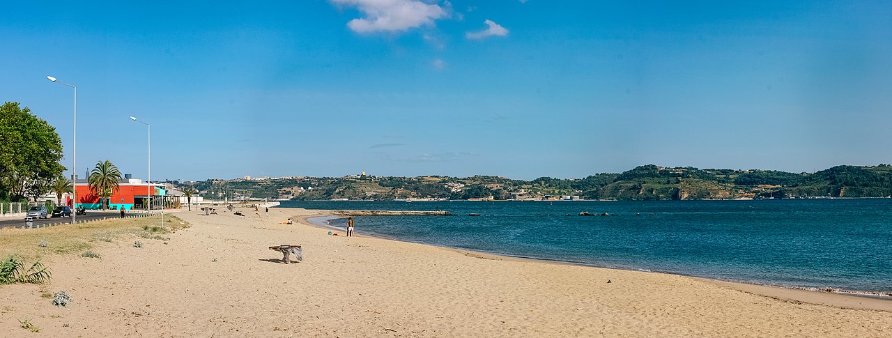
A Praia de Algés é a praia mais perto do centro de Lisboa (9,5 km), tem um areal de extensão mediana ladeado por dois pontões.
Questions
How warm is the sea at Algés Beach?
The sea off Algés Beach averages 18.8 °C at its warmest, in September, and 14.6 °C at its coolest. These are monthly means from NOAA's OISST v2.1 satellite and buoy record for 1991 to 2020, sampled at the beach's own coordinates.
When can you swim at Algés Beach?
The sea here never averages 20 °C in any month, so swimming means cold water all year. Some people do it anyway.
Where is Algés Beach?
Algés Beach is on the coast of Portugal, at 38.6959, -9.2311. The map on this site flies straight to it.
Beaches nearby
 Dafundo BeachAlgés, Linda-a-Velha e Cruz Quebrada-Dafundo, Portugal
 Praia da Cruz QuebradaLisbon, Portugal
 Praia de CaxiasOeiras e São Julião da Barra, Paço de Arcos e Caxias, Portugal
 Praia VelhaOeiras e São Julião da Barra, Paço de Arcos e Caxias, Portugal
 Praia de Paço de ArcosOeiras, Portugal
 Praia de Santo AmaroOeiras, Portugal
 Praia da TorreOeiras, Portugal
 Praia do MoinhoCarcavelos e Parede, Portugal