Beach
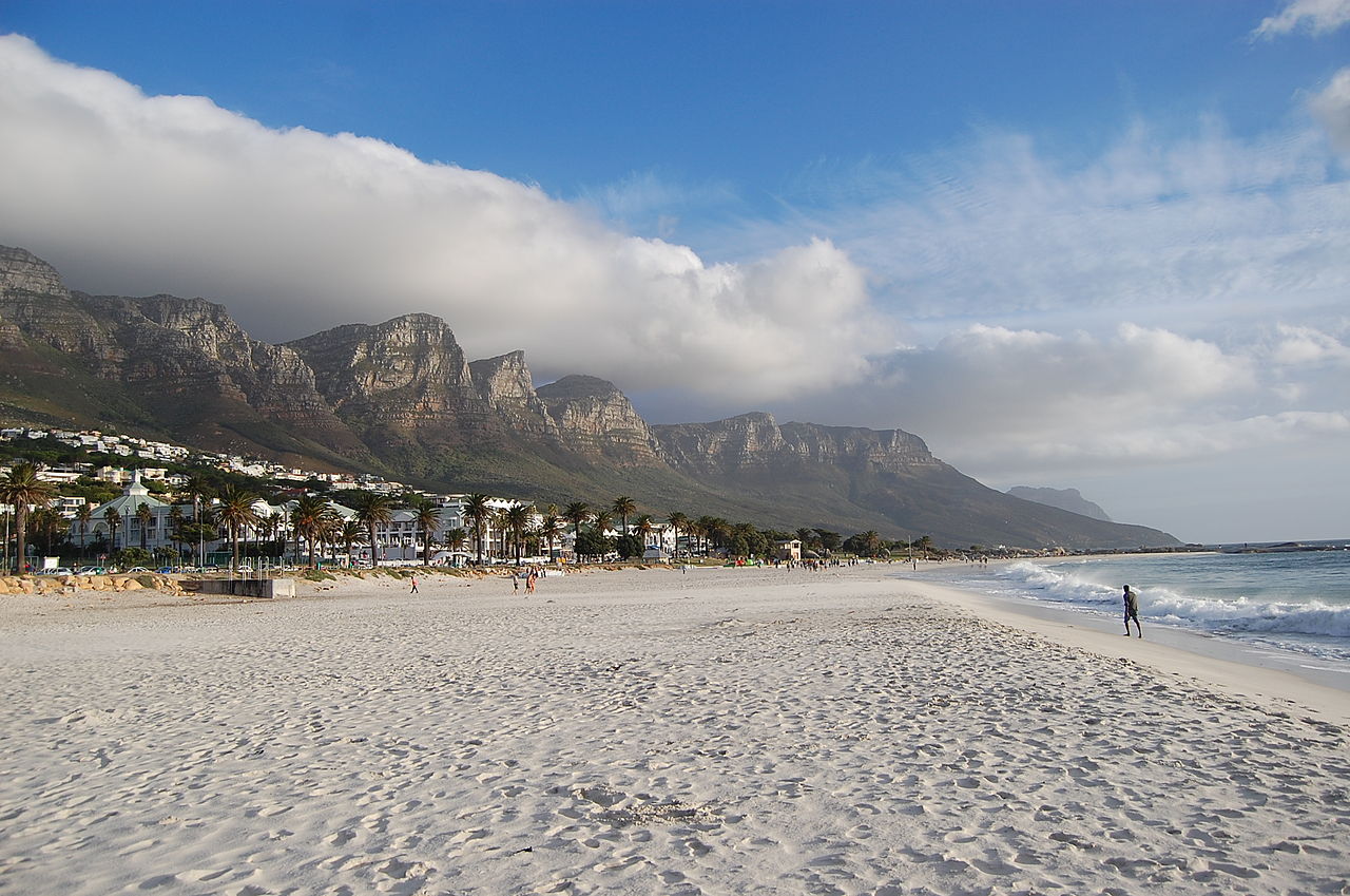
Camps Bay Beach
 City of Cape Town, South Africa · sea 17.5 °C at its warmest, in January
Sea temperature month by month
Monthly means in °C, NOAA OISST v2.1 climatology 1991–2020.
About
beach on the Cape Peninsula, Western Cape, South Africa
Wikipedia has no article about this beach yet. It is on the atlas from its Wikidata record and its photograph.
Questions
How warm is the sea at Camps Bay Beach?
The sea off Camps Bay Beach averages 17.5 °C at its warmest, in January, and 14.5 °C at its coolest. These are monthly means from NOAA's OISST v2.1 satellite and buoy record for 1991 to 2020, sampled at the beach's own coordinates.
When can you swim at Camps Bay Beach?
The sea here never averages 20 °C in any month, so swimming means cold water all year. Some people do it anyway.
Where is Camps Bay Beach?
Camps Bay Beach is on the coast of City of Cape Town, South Africa, at -33.9497, 18.3780. The map on this site flies straight to it.
Beaches nearby
 Glen BeachWestern Cape, South Africa
 Sandy BayWestern Cape, South Africa
 Hout Bay beachHout Bay, South Africa
 Noordhoek beachWestern Cape, South Africa
 Foxy BeachSimon's Town, South Africa
 Boulders BeachCity of Cape Town, South Africa
 Miller's PointCity of Cape Town, South Africa
 Maclear BeachWestern Cape, South Africa