Beach
El Caragol
 Santanyí, Spain · sea 26.1 °C at its warmest, in August
Sea temperature month by month
Monthly means in °C, NOAA OISST v2.1 climatology 1991–2020, sampled 13 km offshore, at the nearest open water cell of a 0.25° grid.
About
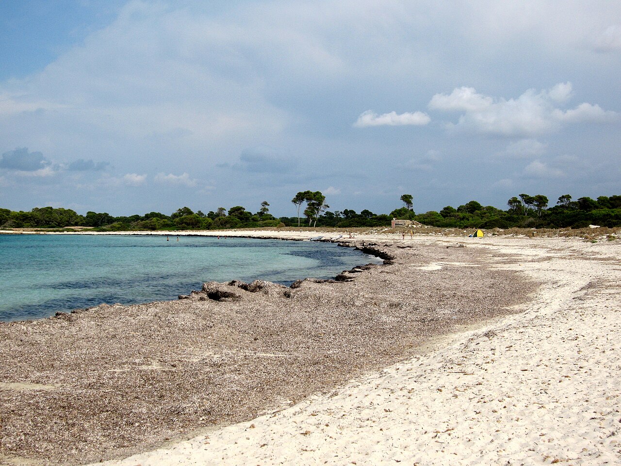
Platja des Caragol (‚Schnecken-Strand‘) ist ein Sandstrand im Süden der spanischen Baleareninsel Mallorca.
Questions
How warm is the sea at El Caragol?
The sea off El Caragol averages 26.1 °C at its warmest, in August, and 14.1 °C at its coolest. These are monthly means from NOAA's OISST v2.1 satellite and buoy record for 1991 to 2020, sampled at the beach's own coordinates.
When can you swim at El Caragol?
The sea reaches 20 °C or more from June to October. Twenty degrees is where most swimmers stop calling water cold; below it, a wetsuit helps.
Where is El Caragol?
El Caragol is on the coast of Santanyí, Spain, at 39.2786, 3.0428. The map on this site flies straight to it.


_(23899506181).jpg/330px-View_of_the_bay_at_Calo_des_Moro%2C_Mallorca_(Spain)_(23899506181).jpg)


