Golden sand
Llevant
 Diagonal Mar i el Front Marítim del Poblenou, Spain · sea 25.3 °C at its warmest, in August
Sea temperature month by month
Monthly means in °C, NOAA OISST v2.1 climatology 1991–2020, sampled 13 km offshore, at the nearest open water cell of a 0.25° grid.
About
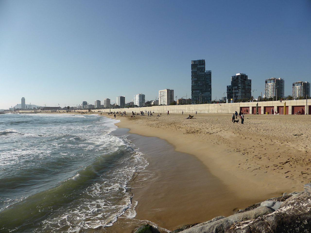
Platja de Llevant est une plage artificielle de Barcelone créée en 2006. Elle est située entre la plage de la Nova Mar Bella et la plateforme Marine Zoo.
Questions
How warm is the sea at Llevant?
The sea off Llevant averages 25.3 °C at its warmest, in August, and 13 °C at its coolest. These are monthly means from NOAA's OISST v2.1 satellite and buoy record for 1991 to 2020, sampled at the beach's own coordinates.
When can you swim at Llevant?
The sea reaches 20 °C or more from June to October. Twenty degrees is where most swimmers stop calling water cold; below it, a wetsuit helps.
Where is Llevant?
Llevant is on the coast of Diagonal Mar i el Front Marítim del Poblenou, Spain, at 41.4044, 2.2181. The map on this site flies straight to it.
Beaches nearby
 Platja de la Nova Mar BellaDiagonal Mar i el Front Marítim del Poblenou, Spain
_01.JPG/330px-Platja_de_la_Mar_Bella_(Barcelona)_01.JPG) Platja de la Mar BellaDiagonal Mar i el Front Marítim del Poblenou, Spain
Platja de la Mar BellaDiagonal Mar i el Front Marítim del Poblenou, Spain Playa de BogatellEl Poblenou, Spain
 Platges de BarcelonaSant Martí, Spain
 Platja de la Nova IcàriaLa Vila Olímpica del Poblenou, Spain
.jpg/330px-Aerial_view_of_Somorrostro_Beach_and_Port_Olympic_in_Barcelona%2C_Spain_(51227006624).jpg) Somorrostro BeachCiutat Vella, Spain
Somorrostro BeachCiutat Vella, Spain.jpg/330px-Barcelona_(16877599244).jpg) Barceloneta BeachLa Barceloneta, Spain
Barceloneta BeachLa Barceloneta, Spain.jpg/330px-Barcelona_-_panoramio_(53).jpg) Platja de Sant MiquelLa Barceloneta, Spain
Platja de Sant MiquelLa Barceloneta, Spain