Golden sand
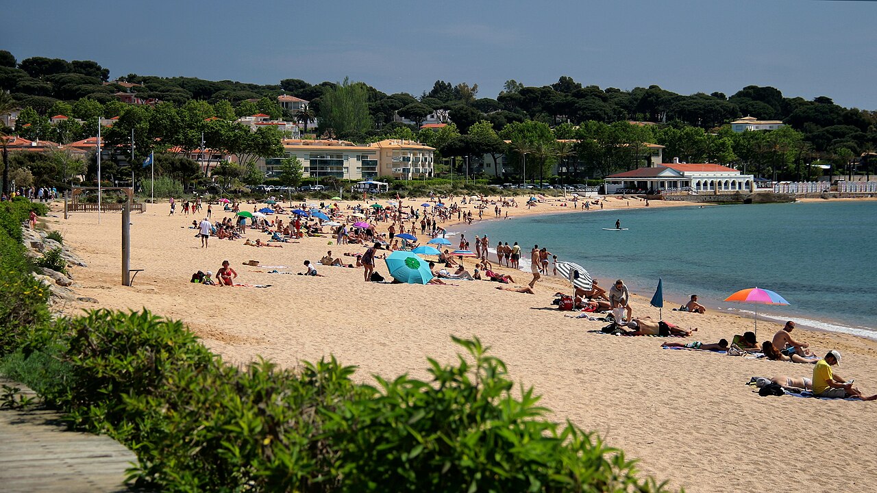
Platja de Sant Pol
 Sant Feliu de Guíxols, Spain · sea 23.5 °C at its warmest, in August
Sea temperature month by month
Monthly means in °C, NOAA OISST v2.1 climatology 1991–2020.
About
La platja de Sant Pol és una platja urbana del municipi de Sant Feliu de Guíxols (Baix Empordà), situada a la cala de Sant Pol, amb forma de mitja lluna, flanquejada per dos caps rocallosos…
Questions
How warm is the sea at Platja de Sant Pol?
The sea off Platja de Sant Pol averages 23.5 °C at its warmest, in August, and 12.8 °C at its coolest. These are monthly means from NOAA's OISST v2.1 satellite and buoy record for 1991 to 2020, sampled at the beach's own coordinates.
When can you swim at Platja de Sant Pol?
The sea reaches 20 °C or more from July to September. Twenty degrees is where most swimmers stop calling water cold; below it, a wetsuit helps.
Where is Platja de Sant Pol?
Platja de Sant Pol is on the coast of Sant Feliu de Guíxols, Spain, at 41.7904, 3.0487. The map on this site flies straight to it.
Beaches nearby
 Platja de Sa ConcaCastell d'Aro, Platja d'Aro i s'Agaró, Spain
 Platja Gran d'AroCastell d'Aro, Platja d'Aro i s'Agaró, Spain
.jpg/330px-16_Cala_Margarida_(Palam%C3%B3s).jpg) Cala MargaridaPalamós i Sant Joan, Spain
Cala MargaridaPalamós i Sant Joan, Spain La FoscaPalamós i Sant Joan, Spain
)))))(_-_panoramio_(1).jpg/330px-Tossa_de_mar_(%C2%BA))))))(_-_panoramio_(1).jpg) Platja de la Mar MenudaTossa de Mar, Spain
Platja de la Mar MenudaTossa de Mar, Spain Platja de CastellPalamós i Sant Joan, Spain
 Platja GranTossa de Mar, Spain
.jpg/330px-Port_Pelegr%C3%AD_(1).jpg) Port PelegríPalafrugell, Spain
Port PelegríPalafrugell, Spain