Beach
Playa Los Límites
 Argentina · sea 15.4 °C at its warmest, in February
Sea temperature month by month
Monthly means in °C, NOAA OISST v2.1 climatology 1991–2020, sampled 15 km offshore, at the nearest open water cell of a 0.25° grid.
About
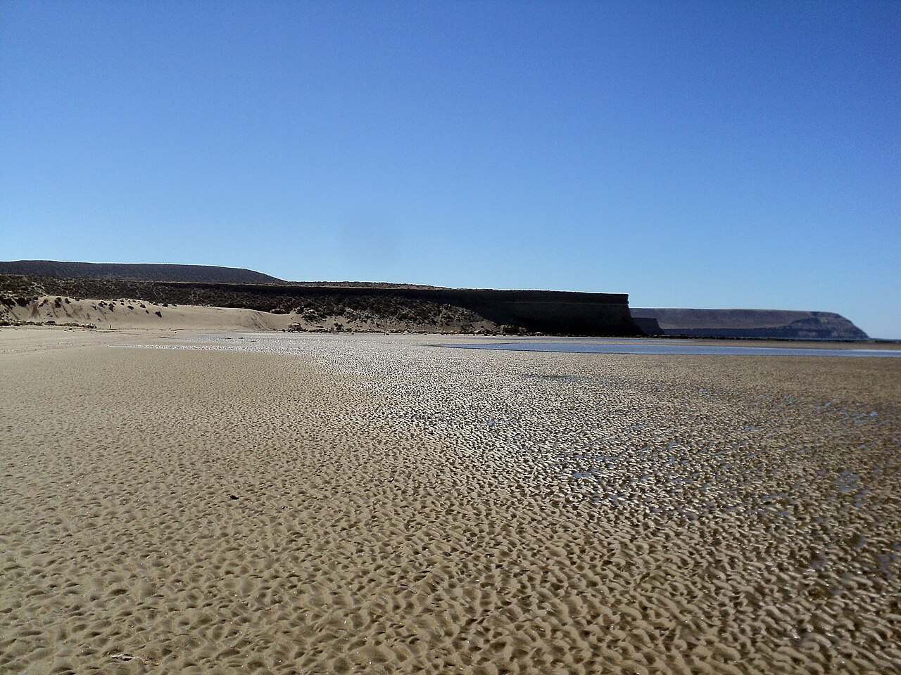
Playa Bonita con sus 4.120 metros de largo, se sitúa en el límite de Provincia de Chubut y Provincia de Santa Cruz, de allí proviene el nombre homónimo, entre Playa La Herradura, al norte y…
Questions
How warm is the sea at Playa Los Límites?
The sea off Playa Los Límites averages 15.4 °C at its warmest, in February, and 7.9 °C at its coolest. These are monthly means from NOAA's OISST v2.1 satellite and buoy record for 1991 to 2020, sampled at the beach's own coordinates.
When can you swim at Playa Los Límites?
The sea here never averages 20 °C in any month, so swimming means cold water all year. Some people do it anyway.
Where is Playa Los Límites?
Playa Los Límites is on the coast of Argentina, at -45.9931, -67.5906. The map on this site flies straight to it.


