Beach
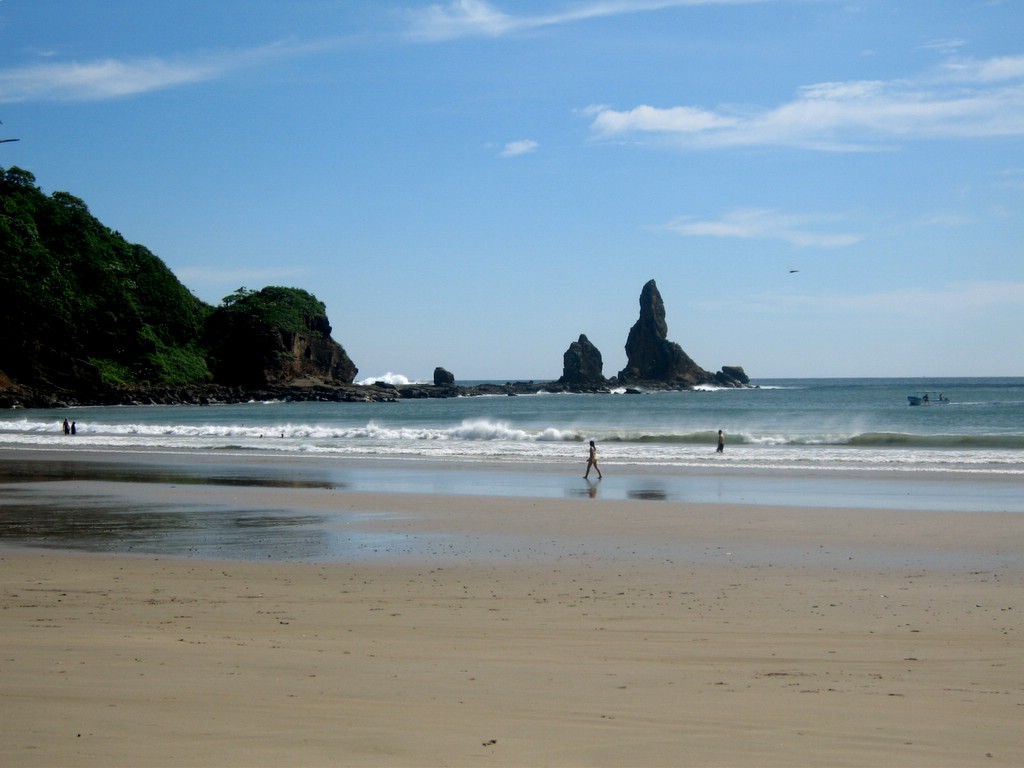
Playa Majagual
 San Juan del Sur, Nicaragua · sea 28.8 °C at its warmest, in September
Sea temperature month by month
Monthly means in °C, NOAA OISST v2.1 climatology 1991–2020, sampled 20 km offshore, at the nearest open water cell of a 0.25° grid.
About
Playa Majagual är en liten badort vid Stillahavskusten i södra Nicaragua. Den ligger i kommunen San Juan del Sur, 5 kilometer mellan nordväst om kommunens centralort med samma namn.
Questions
How warm is the sea at Playa Majagual?
The sea off Playa Majagual averages 28.8 °C at its warmest, in September, and 25.7 °C at its coolest. These are monthly means from NOAA's OISST v2.1 satellite and buoy record for 1991 to 2020, sampled at the beach's own coordinates.
When can you swim at Playa Majagual?
The sea reaches 20 °C or more from All year. Twenty degrees is where most swimmers stop calling water cold; below it, a wetsuit helps.
Where is Playa Majagual?
Playa Majagual is on the coast of San Juan del Sur, Nicaragua, at 11.2999, -85.9160. The map on this site flies straight to it.
_(2).jpg/330px-Beach_Vista_-_Playa_Hermosa_-_South_of_San_Jose_del_Sur_-_Nicaragua_-_04_(31863168446)_(2).jpg)


