White sand
شاطئ الرملة البيضاء
 Saudi Arabia · sea 33.3 °C at its warmest, in August
Sea temperature month by month
Monthly means in °C, NOAA OISST v2.1 climatology 1991–2020.
About
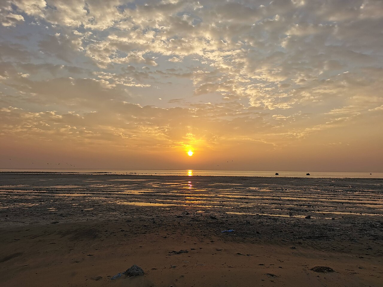
شاطئ الرملة البيضاء أو شاطئ الرفيعة هو ساحل بحري يقع في حزيرة تاروت ويطل على خليج تاروت، غرب الخليج العربي. يمتد الشاطئ من نهاية جزيرة دارين ونهاية شارع الرياض إلى بداية بحر سنابس.
Questions
How warm is the sea at شاطئ الرملة البيضاء?
The sea off شاطئ الرملة البيضاء averages 33.3 °C at its warmest, in August, and 18.5 °C at its coolest. These are monthly means from NOAA's OISST v2.1 satellite and buoy record for 1991 to 2020, sampled at the beach's own coordinates.
When can you swim at شاطئ الرملة البيضاء?
The sea reaches 20 °C or more from April to December. Twenty degrees is where most swimmers stop calling water cold; below it, a wetsuit helps.
Where is شاطئ الرملة البيضاء?
شاطئ الرملة البيضاء is on the coast of Saudi Arabia, at 26.5590, 50.0846. The map on this site flies straight to it.


