Beach
Takeno Beach
 Toyooka, Japan · sea 26.8 °C at its warmest, in August
Sea temperature month by month
13.5Jan
11.9Feb
11.8Mar
13.6Apr
16.6May
20.4Jun
24Jul
26.8Aug
25.3Sep
22.1Oct
19.2Nov
16.2Dec
Monthly means in °C, NOAA OISST v2.1 climatology 1991–2020.
About
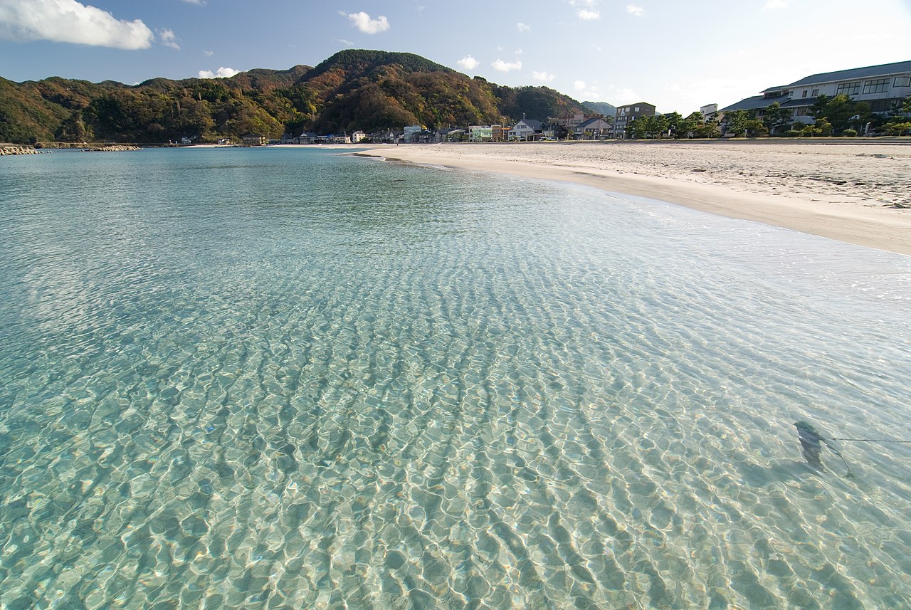
竹野浜(たけのはま)は、兵庫県豊岡市竹野町竹野にある白砂青松の砂浜で、日本海に面する竹野海岸の猫崎半島の東に位置する。竹野浜を含む竹野海岸は山陰海岸国立公園および山陰海岸ジオパークに属する。 東西約800mの遠浅の砂浜である。
Questions
How warm is the sea at Takeno Beach?
The sea off Takeno Beach averages 26.8 °C at its warmest, in August, and 11.8 °C at its coolest. These are monthly means from NOAA's OISST v2.1 satellite and buoy record for 1991 to 2020, sampled at the beach's own coordinates.
When can you swim at Takeno Beach?
The sea reaches 20 °C or more from June to October. Twenty degrees is where most swimmers stop calling water cold; below it, a wetsuit helps.
Where is Takeno Beach?
Takeno Beach is on the coast of Toyooka, Japan, at 35.6610, 134.7643. The map on this site flies straight to it.
.jpg/330px-Yuhigaura_(1).jpg)


