Beach
Constitution Beach
 Massachusetts, United States · sea 18.8 °C at its warmest, in August
Sea temperature month by month
4.9Jan
3.3Feb
3.5Mar
5.8Apr
10.1May
14.7Jun
18.2Jul
18.8Aug
17Sep
13.5Oct
10.2Nov
7.5Dec
Monthly means in °C, NOAA OISST v2.1 climatology 1991–2020.
About
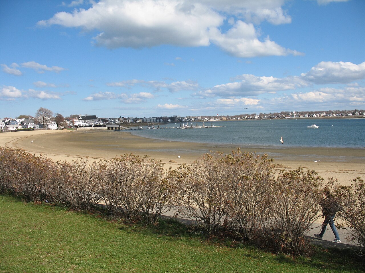
Constitution Beach is a man-made crescent-shaped, sandy beach located in the Orient Heights neighborhood of East Boston, Massachusetts.
Questions
How warm is the sea at Constitution Beach?
The sea off Constitution Beach averages 18.8 °C at its warmest, in August, and 3.3 °C at its coolest. These are monthly means from NOAA's OISST v2.1 satellite and buoy record for 1991 to 2020, sampled at the beach's own coordinates.
When can you swim at Constitution Beach?
The sea here never averages 20 °C in any month, so swimming means cold water all year. Some people do it anyway.
Where is Constitution Beach?
Constitution Beach is on the coast of Massachusetts, United States, at 42.3844, -71.0104. The map on this site flies straight to it.
Beaches nearby
 Revere BeachRevere, United States
 Winthrop BeachMassachusetts, United States
 Yirrell BeachUnited States
 Carson Beach, South BostonMassachusetts, United States
 Nahant Beach ReservationMassachusetts, United States
 Nantasket BeachPlymouth County, United States
 West Beach, Beverly, MassachusettsUnited States
 Singing BeachEssex County, United States