Beach
Monterey State Beach
 California, United States · sea 14.7 °C at its warmest, in September
Sea temperature month by month
Monthly means in °C, NOAA OISST v2.1 climatology 1991–2020.
About
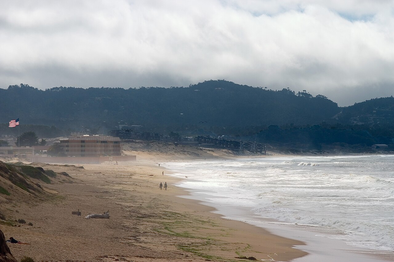
Monterey State Beach is a protected beach on southern Monterey Bay in Monterey County, California. It extends from the city of Monterey to Seaside.
Questions
How warm is the sea at Monterey State Beach?
The sea off Monterey State Beach averages 14.7 °C at its warmest, in September, and 12.1 °C at its coolest. These are monthly means from NOAA's OISST v2.1 satellite and buoy record for 1991 to 2020, sampled at the beach's own coordinates.
When can you swim at Monterey State Beach?
The sea here never averages 20 °C in any month, so swimming means cold water all year. Some people do it anyway.
Where is Monterey State Beach?
Monterey State Beach is on the coast of California, United States, at 36.6001, -121.8822. The map on this site flies straight to it.
Beaches nearby
 San Carlos BeachMonterey County, United States
 McAbee BeachMonterey, United States
 Lovers Point BeachPacific Grove, United States
 Asilomar State BeachMonterey County, United States
 North Moss BeachMonterey County, United States
.jpg/330px-Carmel_Beach_(1).jpg) Carmel BeachMonterey County, United States
Carmel BeachMonterey County, United States.jpg/330px-Pebble_Beach%2C_Del_Monte_Forest%2C_CA%2C_USA_-_panoramio_(12).jpg) Fan Shell BeachMonterey County, United States
Fan Shell BeachMonterey County, United States Carmel River State BeachCalifornia, United States